August 11, 2022
It may not be along the North Arm of the Fraser, but Fort Langley is a difficult place to omit when looking back on the history of British Columbia, as well as that of the Fraser River. Spending the day yesterday hiking the Fort-to-Fort Trail with my son Michael was a pleasant morning out, and it reminded me of several events that initiated what we now call British Columbia.
My hiking guidebook tells me, under the walks from Derby Reach Regional Park that negotiations were underway to create a trail from the original site of Fort Langley of 1827 to the current National Historic Site to the south, where the fort relocated in 1839. My guidebook was published twenty years ago, and luckily, a trail was created in the interim.
Michael and I visited Fort Langley National Historic Site the day before, and we had a pleasant afternoon visiting the blacksmith, the cooperage, the Big House and the thriving garden, trying our hand at making barrels and panning for gold. During the course of our visit, through speaking with staff and reading signage, we were reminded just how quickly events progressed in 1858, the year of the gold rush, to create British Columbia. Many prospectors stopped in at the fort to get their supplies ahead of navigating the Fraser River to get to the goldfields. But that year, in an effort to slow down the inundation of Americans keen to strike it rich (30,000 that year was an estimate I read), that threatened to derail British control over the trade set up through the fort, James Douglas pled to Britain, and in response the British Columbia Act was passed, and on November 19, 1858, with the attendance of First Nations guests, Royal Engineers and Hudson’s Bay Company officers, at the Big House, British Columbia was announced, Governor Douglas was sworn in, as was the province’s first judge, Matthew Baillie Begbie, to ensure British law was practiced in the new colony.
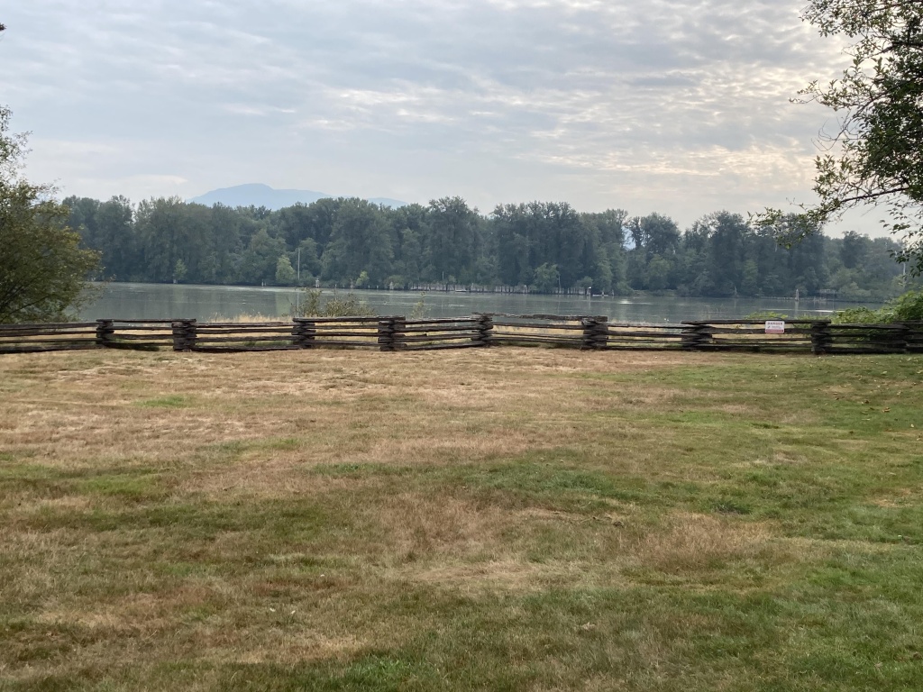
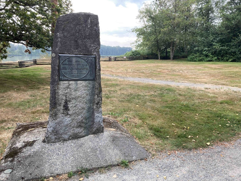
We began our hike four kilometres north, at a clearing and wood fence overlooking the Fraser River, that was the location where James McMillan and twenty-four men, a diverse collection of workers of Kanaka, Iroquois, Scots and French Canadian background, sent by the Hudson’s Bay Company, began construction of a fort in 1827. They had travelled the Fraser on the schooner Cadboro. Michael and I had parked the car at the lot on the other side of Allard Crescent. A cairn nearby commemorates the location, at which not much is left of the original fort site.
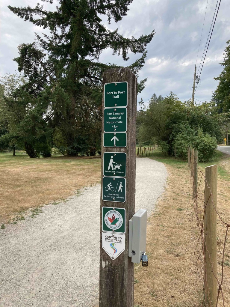
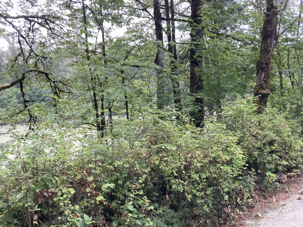
But we needed to start walking, and we were soon striding past apple and pear trees planted by settlers, present-day farms where horses chewed on blackberry bushes, and sweeping vistas along the Fraser that brought the eye to the snowy slopes of Mount Baker in Washington State. The trail is part of the Trans Canada Trail and the Canyon to Coast Trail designed to allow hikers to walk from Hope to the mouth of the Fraser. But today, Michael and I would just take in the eight kilometres return, fort to fort.
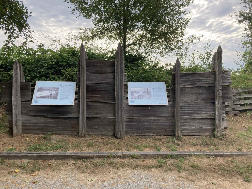
Various viewpoints were complimented with signage, one of which pointed out that this was the traditional territory of the Stó:lō, and they saw the new fort as a place to acquire rope, axe blades and wool blankets and many other items.
A diversion took us along the side of Allard Crescent for a time, before we returned to the shoreline walk, having us stroll along the chain link fence of the Fort Langley Golf Course, where I found several golf balls that had exited the grounds. A descent brought Michael and I to a wood bridge, overlooking the river and McMillan Island where Brae Island Regional Park is found. The mosquitoes were constantly looking for a foothold, but luckily Michael and I had sprayed bug repellent, keeping the little beasts away. Soon we had left the mosquitoes behind and were finding more houses and apartments on our right. Signage was reminding us of the historic context of this area, and how, back in 1827, a vibrant trade economy was set up with furs, salmon and cranberries sought-after items overseas.
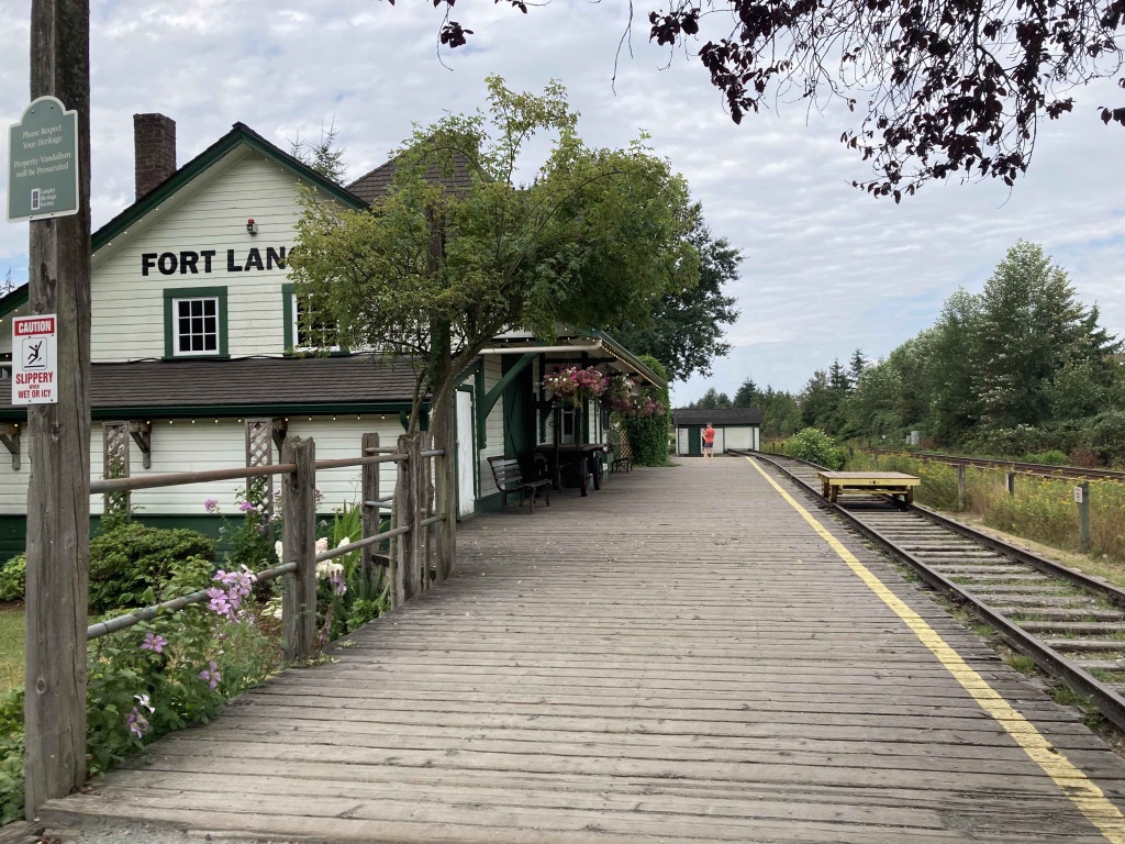
Soon we were at Glover Road and the quaint shops and cafes of Fort Langley. We had a snack and some tea at Wendel’s Bookstore & Café. We couldn’t leave for the return walk without admiring the restored CN train station which began its life in 1920 and closed in 1980, once automobiles and airplanes became more predominant forms of travel. What a change from the canoes and schooners that plied the waters of the Fraser in the days of the fort, to the highways and flyways that make today’s travel so speedy.
But walking the trail along the Fraser, and enjoying the slower pace of travel, allowed Michael and I to appreciate the changing landscape, from the historic farms at Derby Reach to the canopy of the forest, to Fort Langley National Historic Site, where British Columbia first came to be.